It was another beautiful day here in Cedar Key. This afternoon I decided to take a ride in a Cessna.
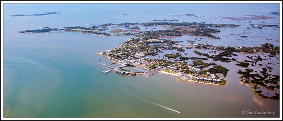
This is a wide view of Cedar Key with North Key visible in the upper left. You can click on the image for a much larger view.
An interesting bit of information…. The city has a total area of 2.1 square miles (5.5 km2), of which 0.97 square miles (2.5 km2) is land and 1.2 square miles (3.0 km2), or 54.28%, is water.
~ ~
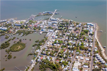
Below are more images of today’s ride. I was shooting through a plastic window, so some of them have a little glare in them.
Invalid Displayed Gallery
In case you get the itch to take a ride, Marvin is a very experienced pilot. It is a lot of fun and the views at a few hundred feet are fantastic! I highly recommend it. Look for him at the Cedar Key Airport on weekends. I think he also parks a truck in town, with a sign on back, advertising his flights.
Click the above image for a “Zoomify” view of this image. Depending on your connection speed, it may take a few minutes to load the zoomed views.


What fun!! Glad you could take a ride!